

Your satnav used to offer two personalities: fastest or shortest. Now a growing number of navigation apps and in-car systems are adding a third and fourth, usually labelled scenic or twisty. A scenic route satnav setting is aimed at anyone who drives or rides for pleasure, from weekend motorcyclists to people who just fancy a nicer road home on a Saturday afternoon. Does it work? Mostly, with some very British caveats. Let’s bust a few myths.
Myth one: the app knows which roads are beautiful
It doesn’t, not in the way you do. A routing app has no eyes. What it has is a road network map, with each stretch tagged by type, speed limit, surface and length, plus whatever extra signals its makers bolt on. Scenic scoring usually leans on proxies: how far a road is from motorways and big towns, whether it runs through parkland or along a coast in the map data, and how often other people have chosen it.
That last signal is the crowd-sourced part. Apps that log millions of journeys can see which quiet roads attract people who have no obvious reason to be there. Lots of leisure traffic on a road with no shops or industry is a decent hint that it is worth the trip.
How does a twisty route setting work?
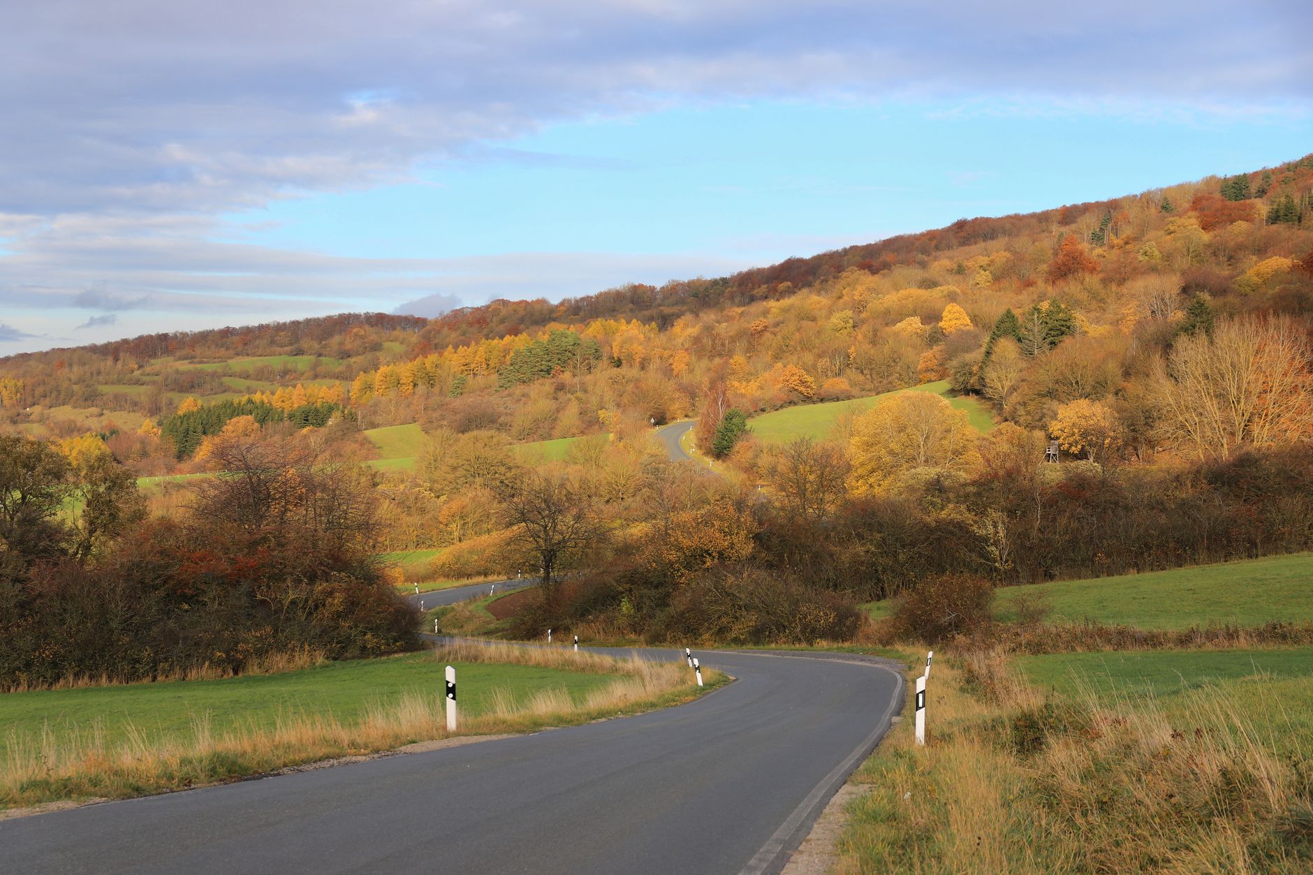
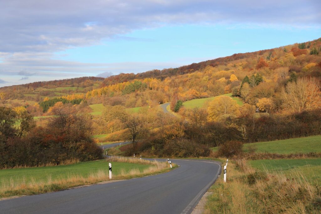
A twisty route setting works by measuring bends. The software breaks a road into short segments, calculates how sharply the line changes direction, and rewards routes with a high number of curves per mile while penalising motorways, dual carriageways and town centres. Some tools also factor in elevation change, which separates a gentle meander from a proper hillside sequence of hairpins.
Machine learning comes in at the tuning stage. Developers can compare the routes the algorithm suggests with routes real riders actually ride, then adjust the weighting until the two match more often. It is pattern matching, not taste, but it is surprisingly effective on open roads with good sightlines.
Myth two: twisty always means fun
Bends are only half the story. A road can score brilliantly on curves and still be miserable: a tractor-width lane with grass down the middle, a hedge-lined rat run with blind junctions every hundred yards, or a lovely corner sequence broken up by a 20 mph village and speed humps. The algorithm sees the geometry. It struggles with flow.
Surface is another gap. Map data rarely tells you whether a lane has been patched into a quilt of potholes, which matters a lot more on two wheels than four. Councils across the UK have spent years talking about road repair backlogs, and no routing app can see a loose-gravel corner from a satellite.
Where do scenic routes go wrong on narrow UK lanes?
Scenic routing goes wrong on narrow UK lanes because the maps often cannot tell a charming single-track road from an unsuitable one. A route may send a wide car down a lane with passing places that are a mile apart, through a ford, or onto a farm track that is public in name only. Seasonal closures, flooding and mud on autumn lanes add to the risk, and the app will not know about any of them.
Some advice that holds up whatever software you use:
- Look at the whole route on a map before setting off, not just the next turn.
- Treat any unclassified lane through farmland with suspicion if you are in a larger vehicle.
- Do not follow an instruction that points you at a ford or a closed-looking gate, whatever the screen says.
- Keep to the speed limit and your own judgement. A twisty setting is not a licence to race, and the Highway Code applies on every lane.
Myth three: enthusiast guides are obsolete
This is the one I would push back on hardest. Guides written by people who have ridden the roads capture what the data cannot: where the surface is good, where the views open up, which stretches are busy with cyclists on Sunday mornings and where a decent café sits halfway round. If you want a shortlist of the best motorcycle A-roads UK scenic choices to check against what your app suggests, that sort of human-curated list is a sensible starting point.
The smart approach is to use both. Take a named road from a guide, then let the app handle the turn-by-turn and the link roads between the highlights. Where the two disagree, trust the guide for the road itself and the app for traffic and diversions.
Myth four: it is all about motorbikes
Riders were the first audience, but the feature is spreading to ordinary drivers, campervan owners and cyclists. Electric car drivers are an interesting new group: a gentle scenic route can be efficient as well as pleasant, as long as charging stops are planned. If you are on two wheels of the pedal-assisted kind, our guide to electric bike rules on British roads covers what you can and cannot do once you leave the cycle lane.
Maps are also not infallible in general. We have written before about UK streets that Google Maps has got wrong, and the same data quirks can turn up on a scenic route.
What should you actually do with a scenic setting?
Treat it as a suggestion engine. Plan the route at home on a bigger screen, compare it with the fast option so you know the time penalty, and check the weather, because a coastal road in a November gale is a very different prospect from the same road in June. For official guidance on road rules and safe driving, the government’s Highway Code is the place to start.
Then drive it, and note what the app got right and wrong. Your own notes will beat any algorithm after a few outings.




Leave a Reply