There is a lot of romance attached to British farming. The muddy boots, the early mornings, the stoic relationship with unpredictable weather. But walk across a large arable farm in Lincolnshire right now and you might find something rather less rustic: a drone quietly mapping every square metre of a field while a laptop in the farmhouse pulls live soil data from sensors buried 30 centimetres underground. Precision agriculture technology on UK farms has arrived, and it is moving fast.
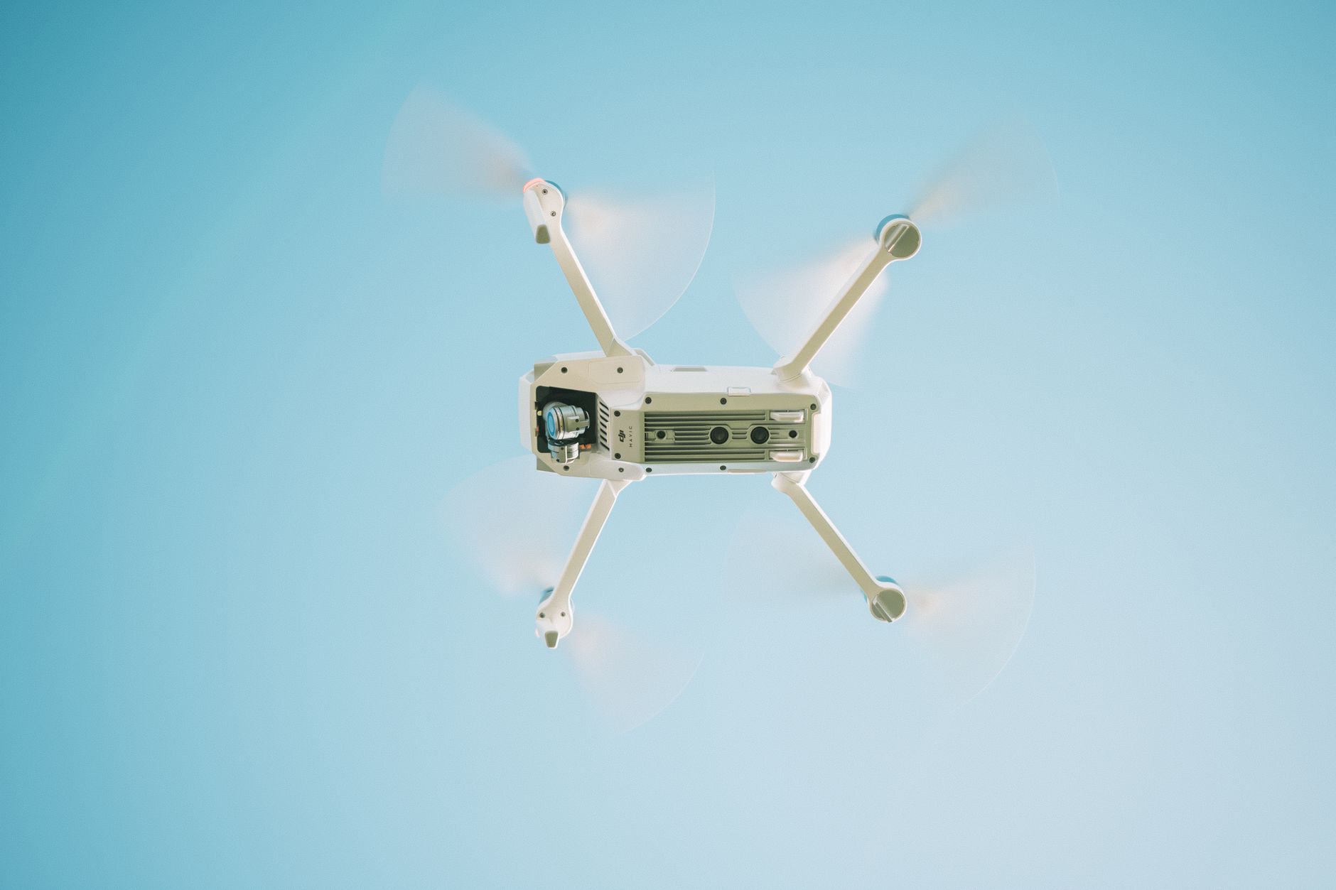
I’ve been following this space for a couple of years now, and the pace of change genuinely surprised me. What was niche kit for well-funded estates five years ago is now showing up on mid-sized family farms across Yorkshire, Cambridgeshire, and the Welsh borders. The question is whether the economics work for everyone, or whether the smaller operations get left behind.
What precision agriculture actually means on a working farm
Strip away the jargon and precision agriculture is really just about applying the right input, in the right place, at the right time. Instead of spreading fertiliser uniformly across a 400-acre field, a farmer uses satellite imagery and ground-level sensors to identify which patches are nutrient-deficient and treat only those areas. That sounds simple. The technology behind it is anything but.
The key tools in play right now include satellite-derived NDVI maps (those colour-coded images that show crop vigour like a thermal camera for plants), variable-rate application systems fitted to tractors, soil electrical conductivity mapping, and increasingly affordable drone platforms that a single operator can fly across hundreds of acres in a morning. Companies like Rezatec, based in Oxford, are processing satellite data for UK farm clients to produce actionable field intelligence rather than raw imagery that a farmer has no time to interpret.
On the soil side, companies including Soil Essentials and a growing number of agritech startups are pairing physical sensors with app-based dashboards. A sheep farmer in Shropshire I read about recently had sensors tracking soil moisture at three different depths across several paddocks, feeding data to a mobile app that flagged irrigation timing automatically. His water use dropped by around 20 per cent in the first season.
Drones and satellites: what’s actually being used across British fields
Drone use on UK farms is now formally regulated by the Civil Aviation Authority, and the rules have actually helped normalise it. Operators need either a General Visual Line of Sight Certificate (GVC) or to use a registered operator for commercial flying, which has created a small but busy ecosystem of agricultural drone service providers. In Lincolnshire, where huge flat fields make drone mapping genuinely practical, some farms are running seasonal contracts with local operators who fly entire estates every fortnight during the growing season.
Satellite imagery is arguably the more scalable tool. The European Space Agency’s Sentinel-2 satellites pass over the UK every five days and their data is free, though the raw product needs processing to be useful. A number of UK agritech firms have built subscription services on top of this, offering weekly crop health reports, anomaly alerts, and yield prediction models. AHDB, the Agriculture and Horticulture Development Board, has published guidance on how British arable farmers can access and interpret this kind of data, and their resource hub is genuinely worth a look if you want to go deeper on the agronomic side.
The combination of drones and satellites creates something powerful: drones catch the fine-grained detail that satellites miss (a blocked drainage ditch, a pest outbreak in one corner of a field), while satellites provide the consistent, wide-area view that no drone operator could realistically replicate every week across a large farm. Used together, they give farmers a level of situational awareness that simply did not exist at this price point a decade ago.
Can smaller family farms afford to keep up?
Here is where it gets complicated, and I’d be doing the topic a disservice by glossing over it. A full precision agriculture setup, including variable-rate application hardware, soil mapping, drone surveys, and a farm management information system, can easily run to £50,000 or more upfront for a mid-sized operation. For a 150-acre family farm already squeezed by input costs and the ongoing transition away from Basic Payment Scheme subsidies, that is a serious number.
The phasing out of BPS payments, being managed by DEFRA under the Agricultural Transition Plan in England, means farms that relied on direct payments are under real financial pressure right now. The Sustainable Farming Incentive (SFI) scheme does offer some payments for practices that align with precision agriculture principles, such as soil testing and integrated pest management, but the payouts do not come close to bridging the capital cost of full adoption.
What is emerging as a practical middle path is the service model. Rather than buying drone hardware, a farm pays a contractor £8 to £15 per hectare for a seasonal survey. Rather than investing in a soil sensor network, they use a one-off electrical conductivity mapping service every three or four years to create management zones, then adjust inputs accordingly. This approach puts precision agriculture technology within reach for UK farms that could never justify the capital expenditure of full ownership.
The honest answer to whether smaller farms can keep up is: some of them, with the right support, probably yes. Others will struggle. The farms most at risk of being left behind are those in the 50 to 200 acre range, too big to ignore the efficiency gains but too small to absorb the upfront investment easily. Agricultural colleges and county farming unions are running workshops to help, but uptake varies enormously by region.
The data question nobody’s really talking about
There is one angle on this that I think deserves more attention. As farms generate more data, questions about who owns it and what happens to it become genuinely important. When a large agritech company’s platform is collecting yield maps, soil data, and machinery telemetry from thousands of British farms, that is an extraordinary dataset. The NFU has raised concerns about data sovereignty, and rightly so. Farmers feeding years of field-level intelligence into a commercial platform need to understand what they are agreeing to in the terms of service.
This connects to a broader pattern visible elsewhere in the UK economy: tech platforms collecting granular data from individuals and small operators in ways that create asymmetric value. We have seen this play out in the retail sector with supermarket automation, and there are echoes of it in even the smallest-scale growing spaces where sensor apps are gathering environmental data. The farming sector should be asking for open data standards and clear contractual protections before adoption scales further.
The efficiency gains from precision agriculture are real. Reduced fertiliser use, lower pesticide application, better water management, and improved yield prediction all stack up to meaningful cost savings and environmental benefits over time. But the transition is not going to be smooth or universal, and anyone selling this technology as a simple fix for British farming’s structural challenges is being optimistic at best. The kit is impressive. The economics are messy. And the data picture is one the industry really needs to sort out before the big players entrench their position even further.
Frequently Asked Questions
What is precision agriculture and how is it used on UK farms?
Precision agriculture uses technology like satellite imagery, soil sensors, and drones to apply inputs such as fertiliser, water, and pesticides only where they are needed in a field, rather than uniformly across it. On UK farms, this typically means using NDVI crop health maps from satellites and ground-level sensor data to make variable-rate application decisions that cut costs and reduce environmental impact.
How much does precision agriculture technology cost for a UK farm?
A full setup, covering variable-rate application hardware, soil mapping, drone surveys, and farm management software, can cost £50,000 or more upfront for a mid-sized arable operation. Many farms avoid that outlay by using pay-per-hectare drone survey services (typically £8 to £15 per hectare) and periodic one-off soil mapping rather than buying the hardware outright.
Are there UK government grants available to help farmers adopt precision agriculture?
DEFRA’s Sustainable Farming Incentive (SFI) scheme includes payments for certain practices aligned with precision agriculture, such as soil testing and integrated pest management. However, these payments generally do not cover the full capital cost of technology adoption. Farmers should also check the Farming Investment Fund for equipment grants via gov.uk.
Do farmers need a licence to fly drones over their fields in the UK?
Yes. The Civil Aviation Authority requires drone operators flying commercially, including for agricultural survey work, to hold a General Visual Line of Sight Certificate (GVC) or use a registered commercial operator. Many farms simply contract specialist agricultural drone service providers rather than training their own pilots.