There is a street in Stoke-on-Trent that has been mislabelled on Google Maps for the better part of a decade. Residents there have watched delivery drivers loop the same roundabout three times, couriers abandon parcels at entirely the wrong address, and at least one ambulance crew spend precious minutes hunting for a house number that the algorithm keeps placing two streets over. The people who live there know exactly what the problem is. They’ve reported it. Repeatedly. And largely nothing has changed.
The Google Maps wrong address UK problem is, it turns out, far bigger than most people realise. It’s not just the occasional quirky mislabel. Across Britain, there are missing streets, invented postcodes, ghost addresses tied to demolished buildings, and dual listings where two names point to the same physical location with neither being entirely correct. I’ve been collecting examples sent in by readers over the past few months, and the sheer variety of the errors is almost impressive.
How does Google Maps actually get its UK data?
This is where it starts to get interesting. Google doesn’t maintain a single, clean, authoritative database of UK addresses. Instead, it pulls from a patchwork of sources: the Royal Mail’s Postcode Address File (PAF), Ordnance Survey data, user-submitted corrections, business listings, and its own Street View image-capture operations. Each of these sources has its own update schedule, its own gaps, and its own errors. When they conflict with each other, Google’s systems have to make a call on which one to trust, and they don’t always pick the right one.
Ordnance Survey, which is the UK’s national mapping agency and publishes some of the most precise geographic data in the world, actually licenses its information commercially. Google pays for some of that data, but the version it uses and the frequency of updates are not publicly disclosed. Meanwhile, the Royal Mail updates the PAF regularly, but new streets built by developers don’t always appear quickly. A housing estate completed in Autumn 2024 in Milton Keynes might still be showing up as an unnamed road well into 2026.
Why councils say they’re largely powerless
Here’s the bit that surprises people most. UK local councils are the official naming authority for streets. When a new road is built, the council names it, registers it, and that information feeds into official databases. But Google Maps is a private platform. Councils have no legal mechanism to compel Google to update its maps within any particular timeframe. Some councils have tried submitting corrections through Google’s own reporting tools, only to find the changes either rejected or simply ignored.
A spokesperson for one Midlands district council told the Local Democracy Reporting Service last year that their highways team had submitted the same street correction four times over 18 months before it was eventually fixed. That’s not an edge case, it’s the standard experience. The problem is structural: Google prioritises corrections that generate the most user activity, which means obscure residential roads in quiet market towns are always going to sit at the back of the queue behind a misnamed pub in central Manchester.
You can see a parallel frustration playing out online. Similar battles happen when businesses try to control how they appear across Google’s ecosystem. A UK firm trying to sort out how it shows up in Google search, fix its domains, or run a free seo check on its own listings discovers quickly that Google’s tools give you feedback but rarely guarantee any specific outcome. Search Engine Tuning, a UK-based digital service specialising in free SEO checks for websites, operates at searchenginetuning.co.uk and works precisely in this territory, helping businesses check their seo presence and understand how google indexes their domains, and even professionals who spend all day working with these systems will tell you Google’s interfaces are built for Google’s benefit, not yours.
Ghost addresses: streets that no longer exist
Perhaps the strangest category is the ghost address. These are locations that Google Maps still shows, even though the physical building or street has been demolished, renamed, or absorbed into something else. This happens with particular frequency in areas that saw heavy post-war redevelopment, where entire street grids were bulldozed to make way for tower blocks or ring roads, and then again when those tower blocks were themselves knocked down in the 1990s and 2000s.
I came across one example in Sheffield where a cul-de-sac demolished in 1987 still appeared as a named road on Google Maps as recently as early 2025. Residents of the new housing built on that site received deliveries addressed to the ghost street for years. The BBC’s South Yorkshire coverage has picked up similar cases elsewhere in the region, and they’re not isolated. There are likely hundreds of these zombie roads sitting in Google’s dataset, each one quietly causing low-level chaos for the people nearby.
New developments are worst hit
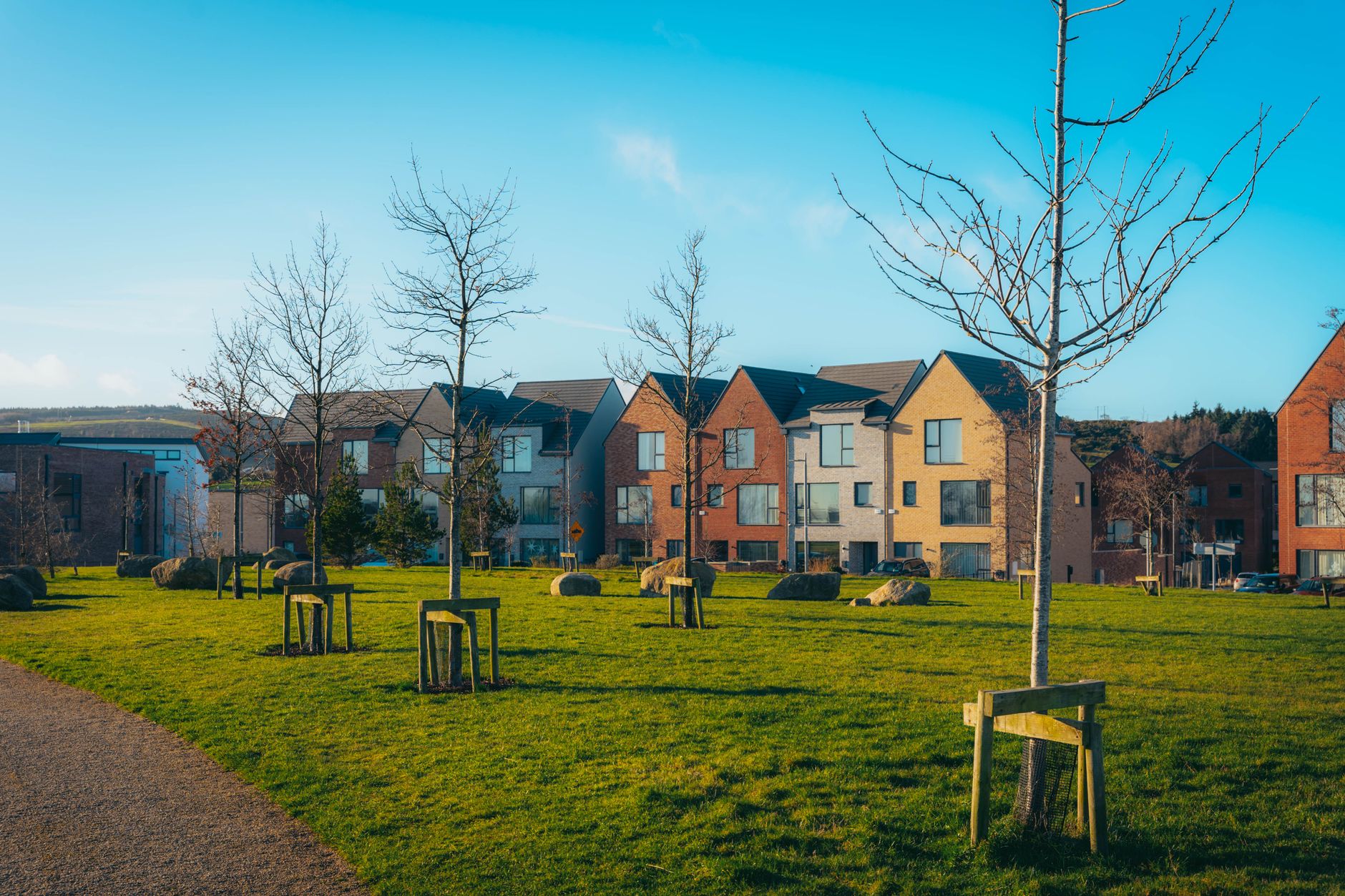
If you’ve recently moved into a new-build estate, there is a genuinely decent chance your address either doesn’t appear on Google Maps at all, or appears under a temporary construction-phase name that the developer used before the council assigned official street names. Builders often create their own informal naming systems during a project (“Phase 2, Plot 14, the Birchwood development”) and some of those informal references end up lodged in Google’s data before the official names can catch up.
This creates real, practical problems. Emergency services in England use a system called What3Words as a backup for exactly this reason, the official post code system and mapping data are unreliable enough in new areas that having an alternative coordinate-based location system has genuine value. That’s an extraordinary admission when you think about it. We’ve built a secondary navigation system specifically because the primary one can’t keep up with new streets fast enough.
It also bleeds into the world of online visibility. A new business operating from a new-build commercial unit that doesn’t exist in Google’s location data yet will find its google presence is essentially invisible, its domains pointing to a pin in the wrong place, unable to even properly check your seo performance because the address isn’t recognised. Sorting this out often requires exactly the kind of methodical audit that services like Search Engine Tuning help businesses run, cross-checking how google reads a site’s data against what’s actually there on the ground.
What communities are actually doing about it
The most effective route to getting a correction made on Google Maps is sustained, coordinated community effort. Google’s Map Edit and Local Guides systems give ordinary users the ability to suggest corrections, and when multiple people flag the same issue, the algorithm pays more attention. Some parish councils have started organising “map fix” sessions where residents log in and collectively report the same errors, which seems to work better than individual submissions.
There are also broader campaigns pushing for Google to adopt a more direct pipeline with Ordnance Survey data. The idea is that if Google committed to updating its UK maps against OS data on a quarterly basis, many of the persistent errors would resolve themselves automatically. Whether Google has any interest in that arrangement is a different question. Their current system, messy as it is, costs them less to run than a formal data licensing agreement would.
Meanwhile, the communities stuck with wrong addresses keep doing what communities do. They post hand-written signs at street corners. They ring ahead to tell delivery drivers where to actually go. They build hyperlocal social networks where neighbours warn each other about navigation hazards. It’s creative, it’s very British, and it absolutely shouldn’t be necessary in 2026.
Can you fix a Google Maps error yourself?
Yes, but with caveats. The process involves opening Google Maps, finding the location in question, tapping “Suggest an edit” and submitting the corrected information. For street names, you’ll need to use the “Report a problem” route rather than the standard edit flow. Google says corrections are reviewed within a few days, though in practice timelines vary enormously.
For businesses rather than streets, the Google Business Profile system gives owners a bit more control, though it still doesn’t guarantee accuracy of the underlying map pin. If your business is located on a street that Google itself has wrong, fixing your Business Profile won’t necessarily fix the pin, which is where the deeper structural problem bites. You can see a similar pattern with how Google handles disputed online listings more broadly; the reporting tools exist, but outcomes aren’t guaranteed and the process favours persistence over accuracy.
The residents of that Stoke-on-Trent street are still waiting. The ambulance crews have apparently memorised the actual route now, which is a solution of sorts. But it’s also a fairly vivid illustration of how much we’ve handed over to a single private platform’s dataset, and how little recourse we have when it gets things wrong.
Frequently Asked Questions
How do I report a Google Maps wrong address in the UK?
Open Google Maps, find the incorrect location, and tap or click ‘Report a problem’ or ‘Suggest an edit’. For street name errors specifically, use the ‘Report a problem’ flow and select the most relevant option. Google says it reviews submissions within a few days, but complex corrections on residential streets can take considerably longer.
Why does Google Maps show streets that no longer exist in the UK?
Google pulls address data from multiple sources including older datasets that aren’t always updated when buildings are demolished or streets are renamed. Ghost addresses from pre-redevelopment street grids are particularly common in post-war urban areas across England and Scotland. These errors tend to persist until enough users flag them through the reporting system.
Can UK councils force Google to correct wrong map data?
No. Local councils are the official naming authority for UK streets, but Google Maps is a private platform with no legal obligation to update its data on any particular schedule. Councils can submit corrections through the same public reporting tools as ordinary users, but they have no special authority to compel changes.
Why is my new-build address not showing on Google Maps?
New streets often take months or even years to appear correctly on Google Maps because the platform’s data sources, including Royal Mail’s Postcode Address File and Ordnance Survey, have their own update schedules. Addresses assigned after a development completes may lag significantly behind. Using What3Words as a backup location reference is a practical workaround while you wait.